hike

Washington's Goat Rocks — and the ever-present Mount Adams

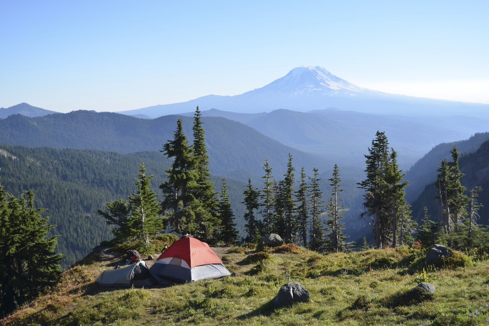
Mount Adams photo-bombed almost every picture I tried to take during my hike in the Goat Rocks a few weekends ago. I couldn't snap a photo of scree fields, glacial lakes, moss-covered trees — anything — without the 12,200-foot mountain creeping into the frame somehow.

The Lily Basin Trail (... and Mount Adams)

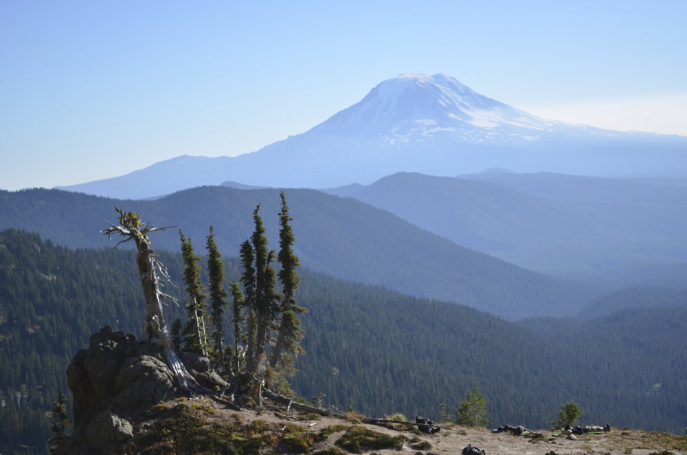
Ten trees (... and Mount Adams)

Golden trail-side grasses (... and Mount Adams)

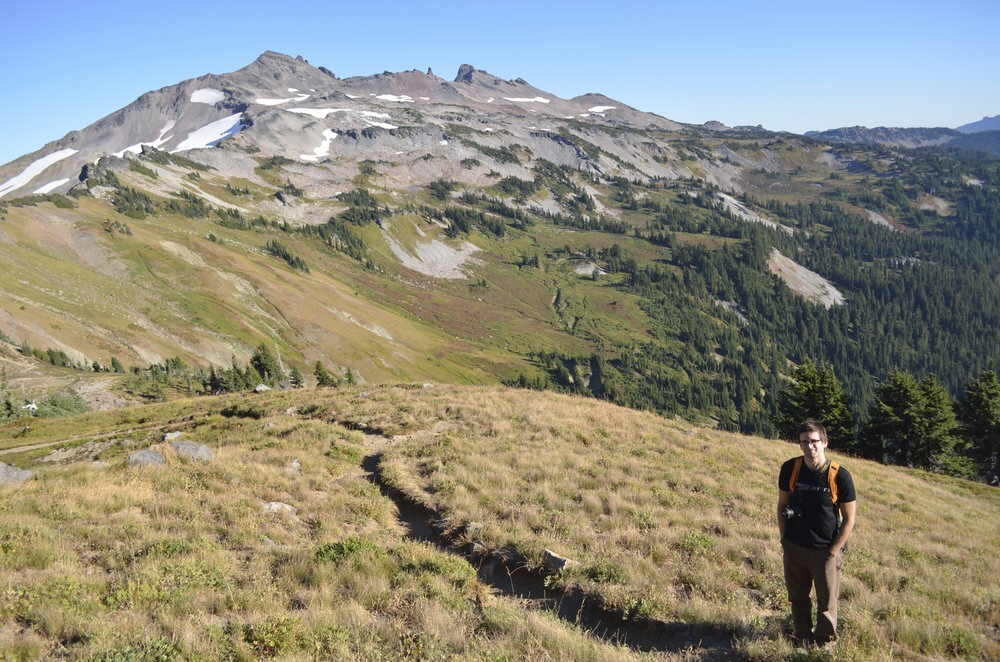
Donnie and I started our 13-mile hike through the Southwest Washington wilderness at the Snowgrass Flats trailhead. We ascended about 1,600 feet into a bowl formed by various Cascades, then crossed alpine meadows and passed the partially frozen Goat Lake before descending back down toward Berry Patch. Though the marmots were less feisty and the wildflowers less plentiful than my last visit, earlier in the season back in 2010, we enjoyed stunning, wide-open views everywhere we looked.

Though Adams acted a lot like the drunk annoying guy at the party, I forgave it — and actually did manage to capture a few pictures sin mountain:

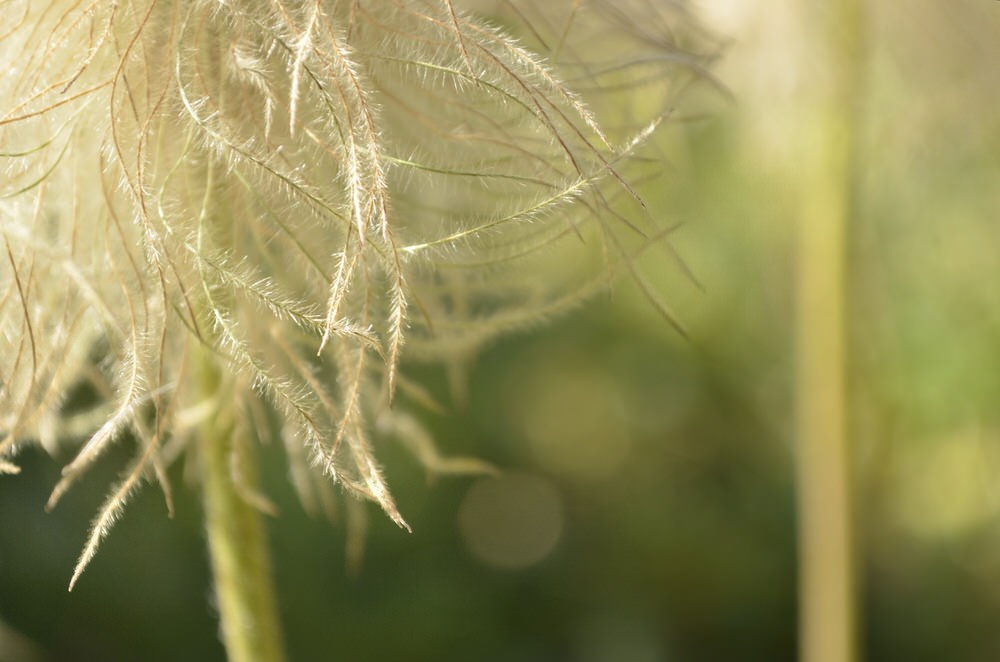
Fuzzy little mop head

A creek-side flower slightly past its prime

Whoops! Slipped in again.

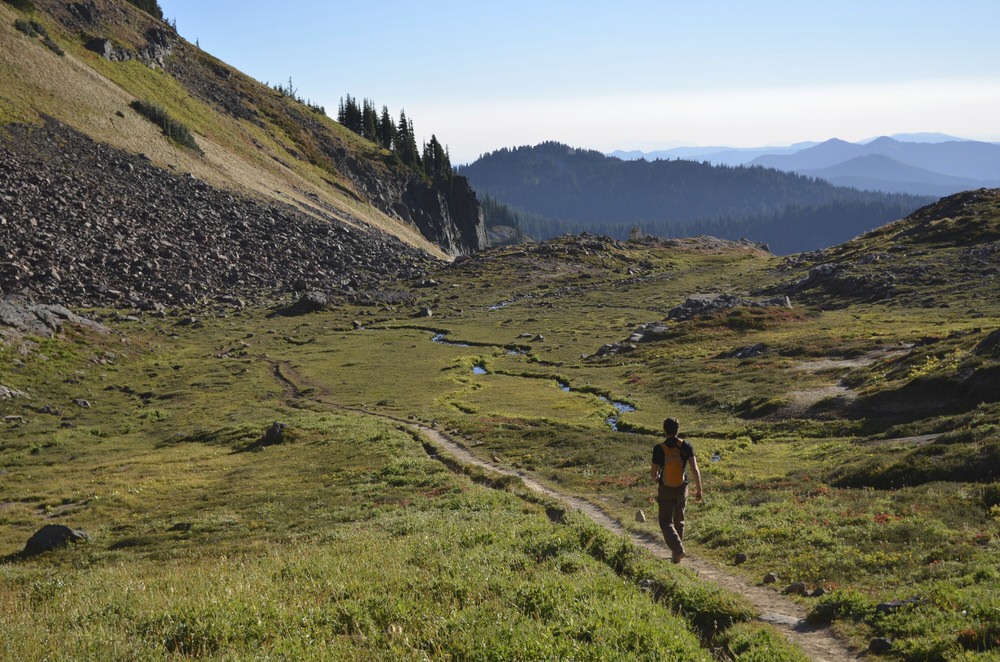
Donnie and the valley, around mile 9

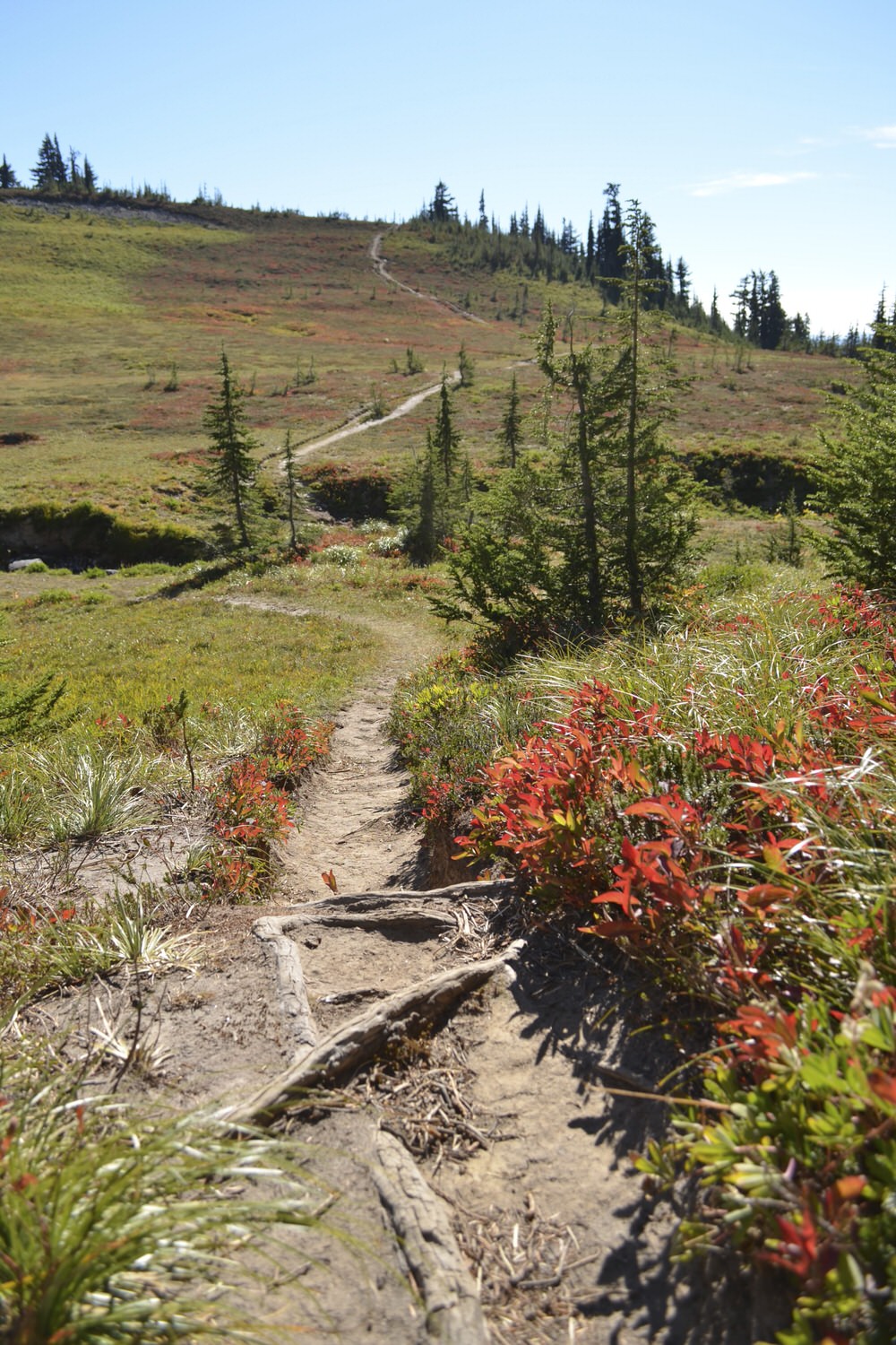
Descending along Goat Ridge trail toward the end of the day

Quick, before it melts!

I almost touched a glacier yesterday, but I couldn’t reach it because it’s rained a lot recently, and the river in front of it was too wide to cross without getting swept away and possibly drowning in ice-cold runoff. But I got really close — and by that, I mean 25 meters close. To a glacier. 1751800852_7392c0bc33.jpg

The glaciers in Torres del Paine National Park are among the most accessible in the world. You can strap on crampons and hike across the top of Glaciar Grey, a 26 kilometer long finger of South Patagonian ice field. Or you can settle into a kayak and paddle up to the ice mass’ base. In a world of rapidly receding glaciers, that’s pretty rare.

Here’s a brief history of the park’s ice: The Earth’s plates shifted in this area about 12,000 years ago, thrusting the once horizontal layers of sedimentary rock out of the ground and into the air. Then it snowed and it snowed, and rather than melting like it’s known to do, the snow compacted into glaciers. The glaciers advanced, mostly during the Pleistocene era, eroding away at the uplifted rock, carving the dramatic formations this park is known for. Several of those same glaciers still remain, but are receding at between four and 10 meters each year. That means I’d better touch, walk on or otherwise experience the glaciers here quickly, before they're gone.

Check out pictures, like the one below of Los Cuernos, from my hike up Valle Frances.

1751383556_40568203f1.jpg