“DANGER!” read the signs posted around the three-sided wooden shelter atop Mount LeConte. “BEARS ARE ACTIVE IN THIS AREA. DO NOT APPROACH THEM. ATTACKS ON HUMANS HAVE OCCURRED, INFLICTING SERIOUS INJURY AND DEATH.”
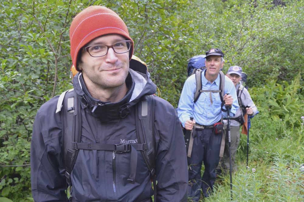
My friend Cheri and I were aware of our position on the food chain during our backpacking trip through the Smokies last weekend, but we didn’t let it bother us too much. We explored the mountaintop, cooked and ate dinner and watched the sun set from a west-facing lookout, all without giving much thought to the 250-pound mammals that average two per square mile in the national park.
But then, as we were talking with fellow campers outside the shelter after dark, we heard snorting and blowing from the trees nearby. Everyone, immediately, went on edge.
“What was THAT?” whispered Randy from Atlanta.
“I dunno. What WAS it?” responded Tim from Knoxville, a tinge of panic in his voice.
We heard the thick huffing sound again and squinted into the darkness, trying to identify the source of the sound. I shone my headlamp into the blackness and, no more than 30 feet away, made out the silhouette of a head and two ears. A bear.
“I SEE it!” I said. At that, everyone in the group — all men, except Cheri and me — took off running toward the shelter.
Now, when you see a bear, you are NOT supposed to run, because it only activates the animals’ chase instinct, and the odds are pretty much stacked against you (bears can run up to 30 miles per hour). Instead, you’re supposed to speak to the bear in a quiet, monotone voice and back away slowly, avoiding eye contact, which can be interpreted as a challenge.
Rather than be the only one left in the bear’s path, though, I took off with the rest of them. “We’re not supposed to ruuuuuuuun,” I yelled as I sprinted behind the group, determined not to be last.
Once back to the “safety” of the three-walled shelter, a couple of the men started shouting and making guttural noises to threaten the bear. Another banged together his hiking poles (a la The Parent Trap).
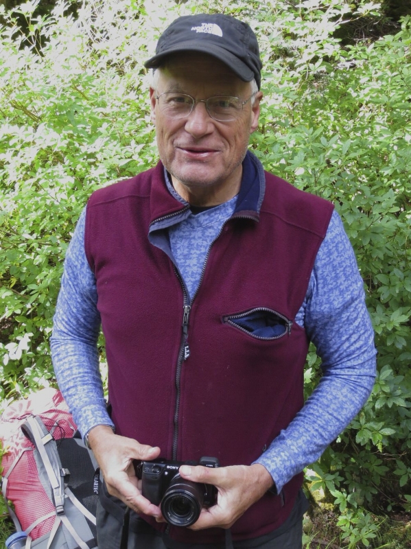
Just then, a figure emerged from the trees. It was Sam, a hiker from Jackson, Tenn., back from brushing his teeth and spraying his spit in a wide arc across the ground in true Leave No Trace form. He saw us lined up on defense along the edge of the shelter, posturing at the dark.
“What are you guys doing?” he asked, toothbrush in hand.
We burst out laughing at our mistake and immediately started making fun of each other.
(Check out this Web site and this video to find out what you're REALLY supposed to do if you encounter a bear.)

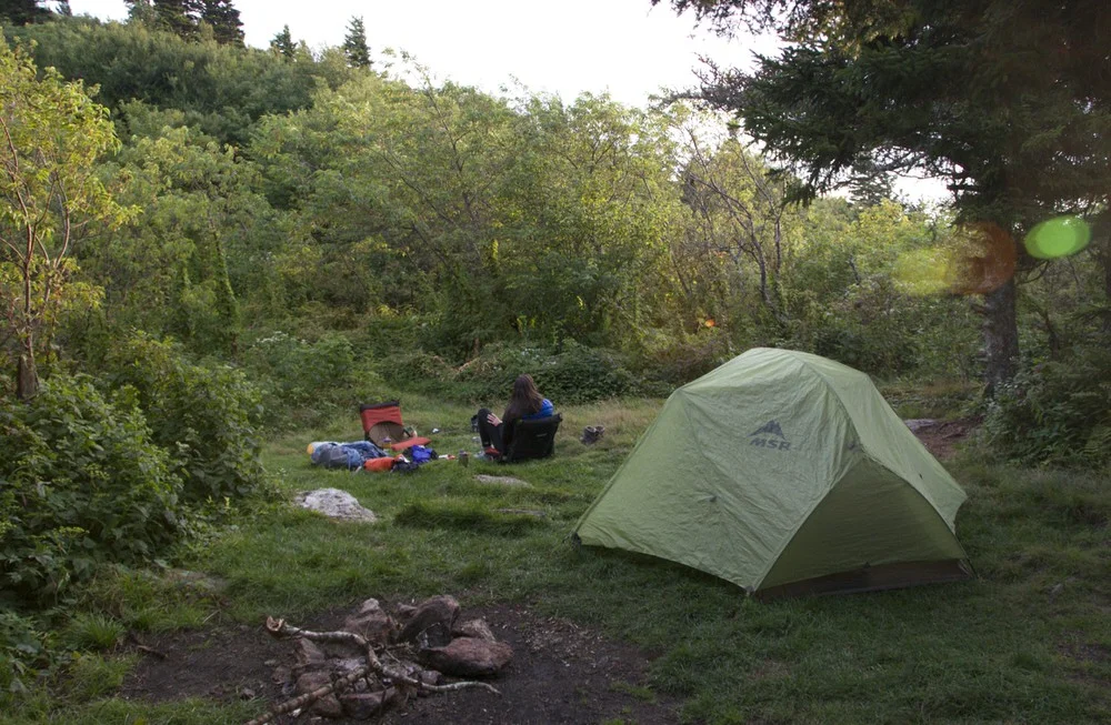
Our stuff sacks of food, suspended out of bears’ reach on the ginormous industrial-strength pulley near the shelter
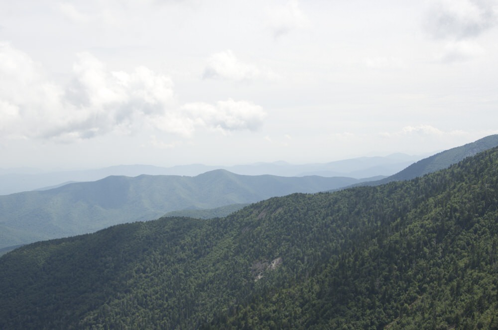
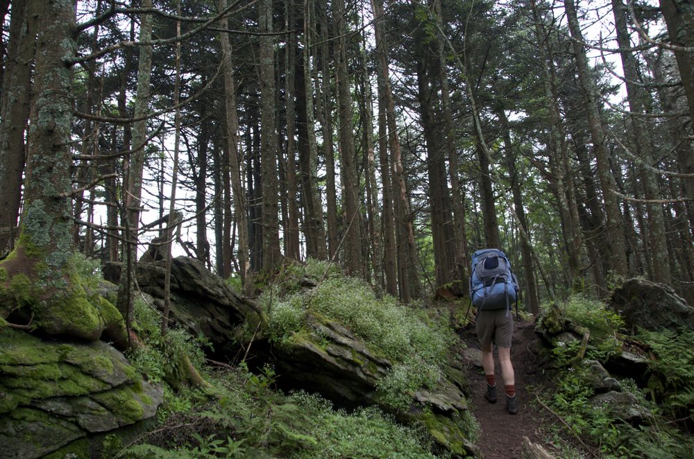
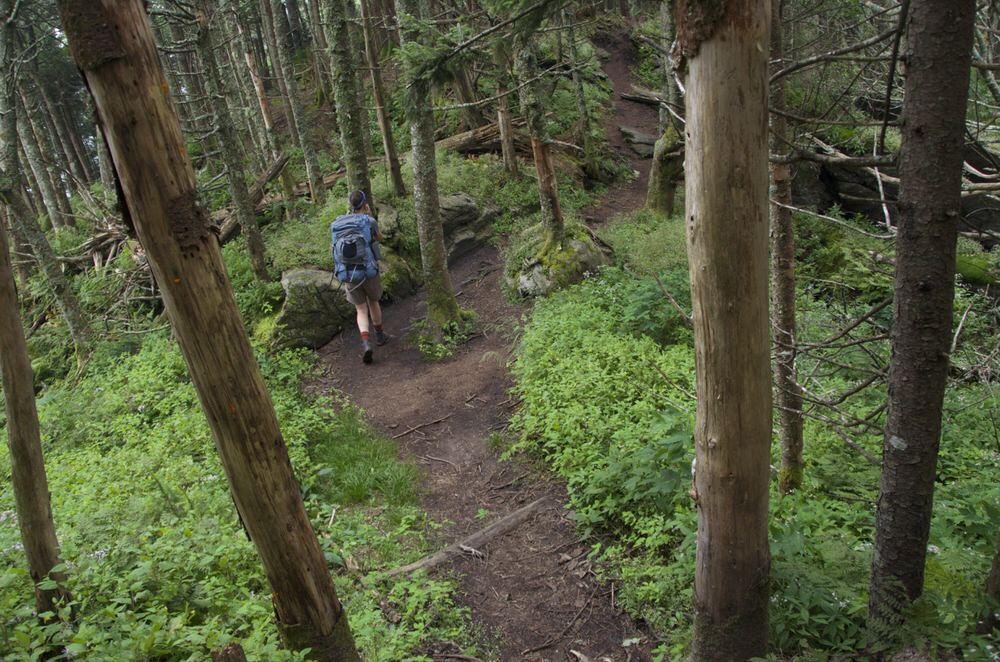
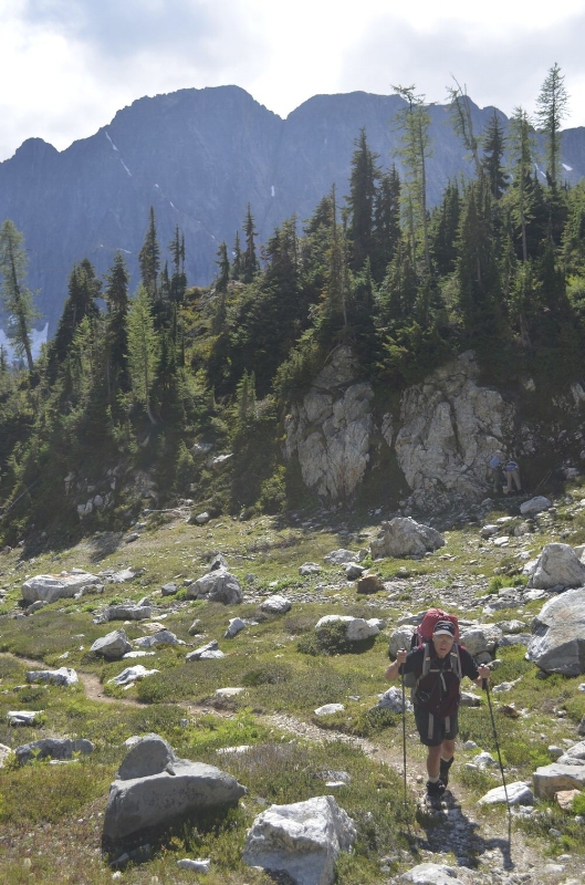
At 6,593 feet, Mount LeConte is the third highest peak in the Great Smoky Mountain National Park. Starting from Newfound Gap, Cheri and I hiked 2.7 miles along the Appalachian Trail and 5.4 miles along the Boulevard Trail to arrive at the summit (maps here). In many places along the way, spruce and fir forests scented the air like Christmas, and at the higher elevations, the leaves were just about at the peak of their brilliance.


We contributed stones to the cairn marking the highest point on the mountain.

And watched a spectacular sunset from the Clifftops lookout.


Cheri and I walked through the LeConte Lodge camp to look around, fill our water bottles at the pump and use the composting toilet. LeConte Lodge, which sits on a grassy slope atop the mountain, consists of seven one-room cabins ($75 per person per night) and a dining room that serves homecooked meals ($35 for dinner and breakfast, $9 extra for wine). It's so popular among hikers who want more than a three-by-six-foot space in the shelter that it's usually booked a year in advance.

The living spaces are cozy and rustic, with bunks for beds, kerosene lanterns for light, washbasins for sponge baths and rocking chairs for porch sittin’ and great views. Would be a great option if I ever had $120 to drop on a camping trip.

On Sunday morning, we followed the ever-popular Alum Cave Trail down the mountain 5.5 miles and 2,800 feet.

The Alum Cave Bluffs
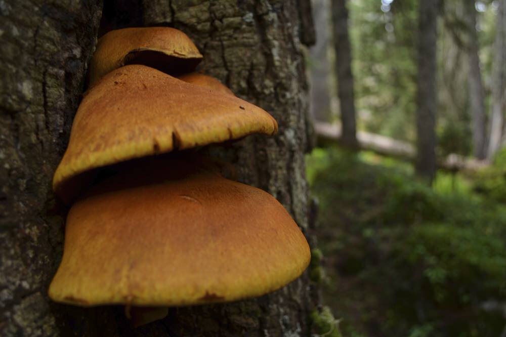
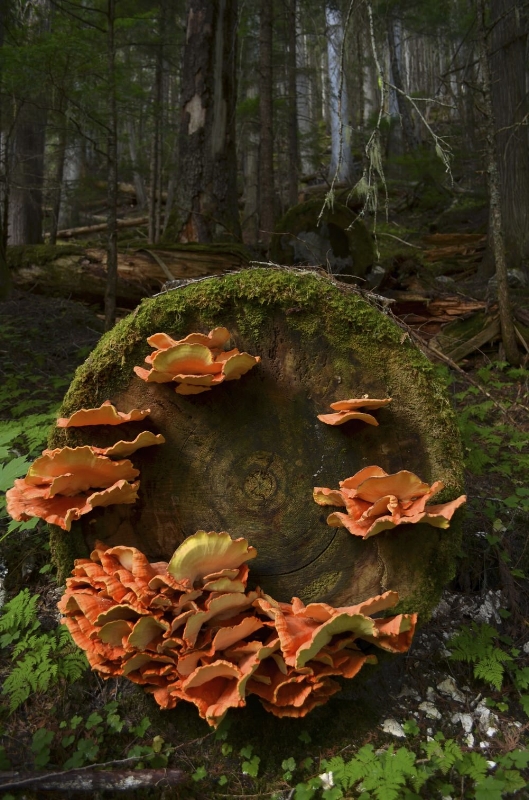
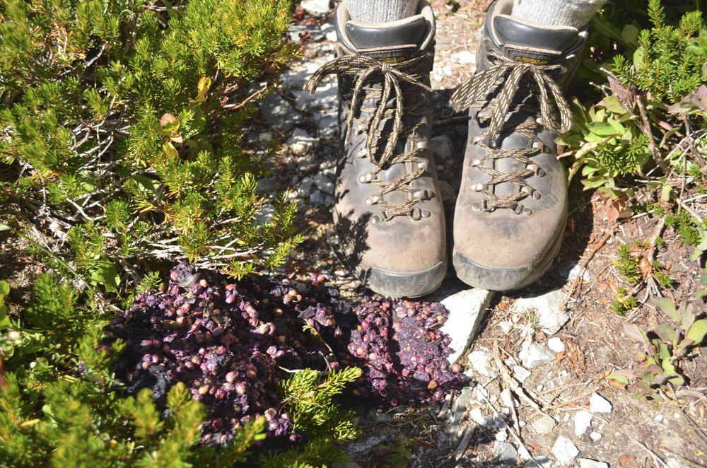
And now, a few other photos:

Me

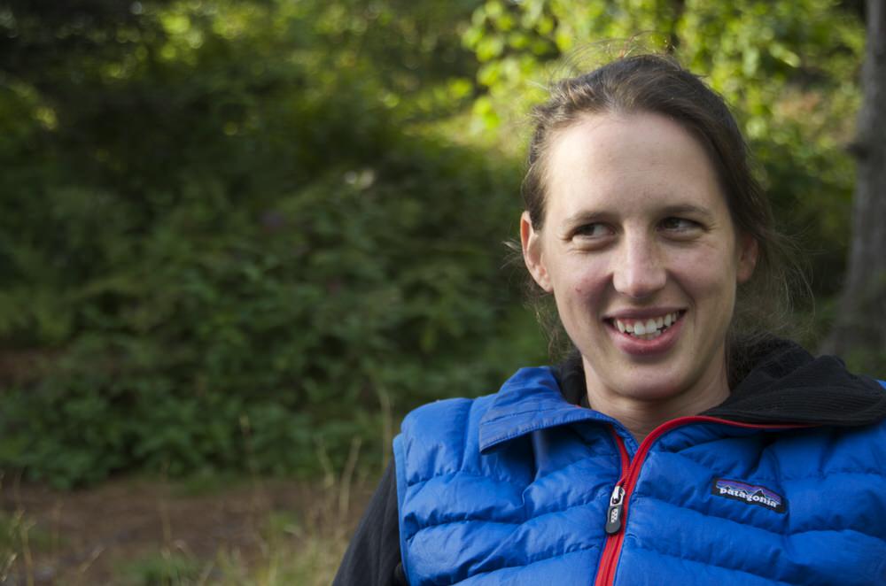
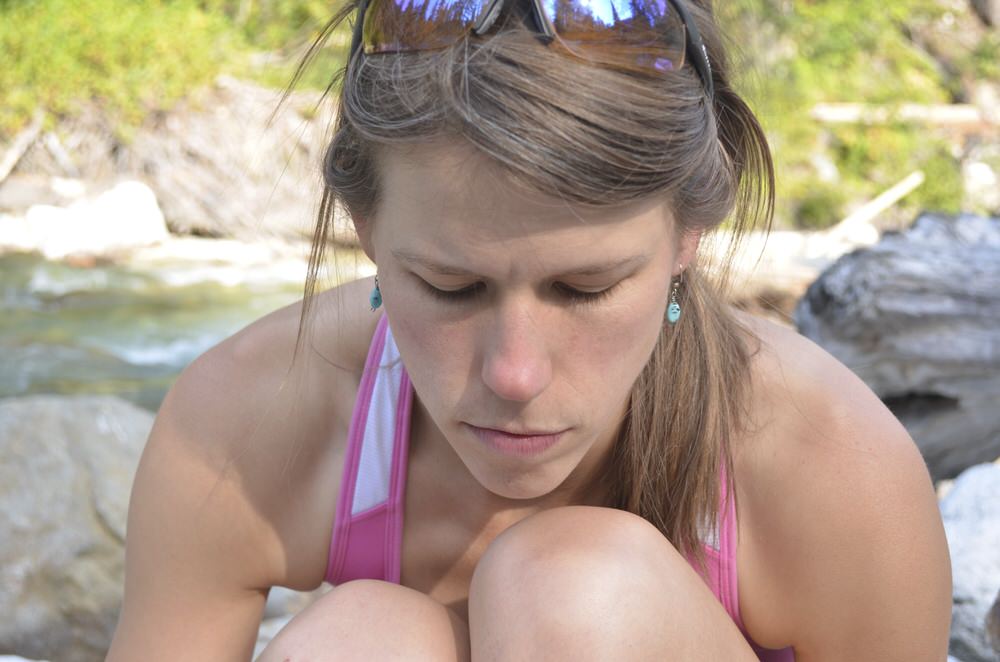
Cheri

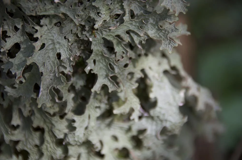
Neon green lichen

An adelgid-eaten tree

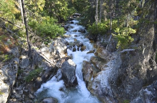
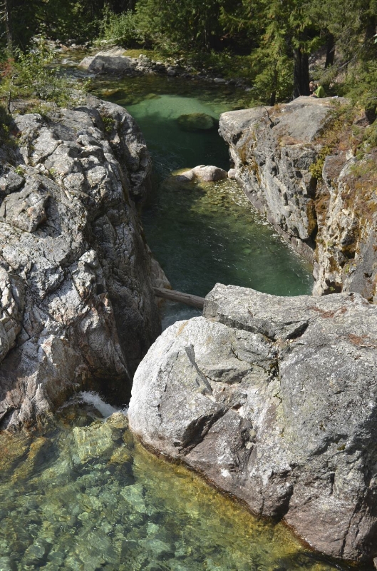
A pretty stream